
01
GNSS resilience audit
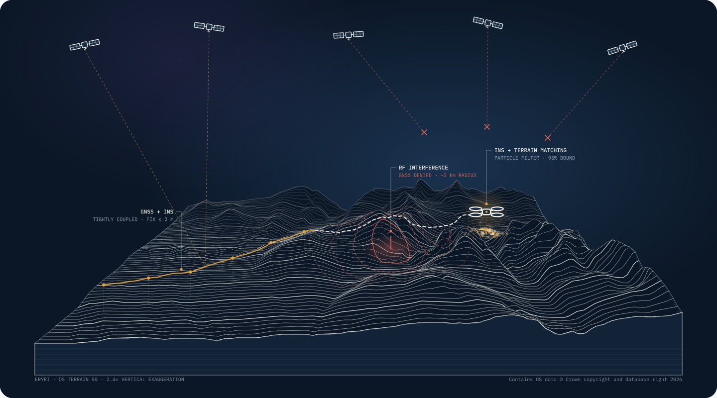
Find out what breaks when GPS is jammed, spoofed or simply missing, and what to do about it.
SERVICES
Three ways to work together. Each has a clear scope, a fixed price and written deliverables, agreed by email before anything starts.
At a glance
WHAT WE OFFER
Find out what breaks when GPS is jammed, spoofed or simply missing, and what to do about it.
Kalman and particle filters, IMU calibration and multi-sensor integration for drones, robots and vehicles.
Independent simulation and test campaigns that show how your positioning really holds up.
WHICH IS RIGHT FOR ME?
EVERY ENGAGEMENT
What we’ll do, what we won’t, and what you’ll receive.
Agreed before work starts. No hourly surprises.
Reports, code and data are yours.
30 days of email questions after delivery.
FAQ
No. Send a short brief by email or the contact form and you’ll get a written scope and fixed price within two working days. Happy to talk if you’d prefer.
Describe the problem in a few lines and we’ll suggest the right scope.
dan@bearingandfix.co.uk